Aoraki Mt Cook
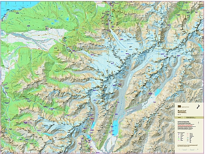
The iconic Mount Cook area is the highest part of the Southern Alps. The map covers all the major features including the Copeland Valley and Pass, and the Fox and Franz Josef Glaciers west of the Main Divide.
| Scale | 1:65 000 |
|---|---|
| Edition | 1 |
| Year | 2013 |
| Price | $20.00 |
Technical Details
Large format 840x630mm.
20m contours. 1km grid. 10 minute geographic graticule.
New Zealand Transverse Mercator projection.
Printed on 113gsm Sumo K Matt paper.